Download
Data Format
We provide various sensor data in the rosbag file, including 4D Radar, sky-pointing camera, 7 surround cameras, IMU, LiDAR, UWB, and GNSS. Additionally, a text file provides ground truth data as well as data and parameters from various roadside equipment.
- /Target_Radar_1 (sensor_msgs/PointCloud2): 3D point clouds from 4D Radar GPAL-Ares-R7861.
- /Target_Radar_1_extreme (sensor_msgs/PointCloud2): Extreme 3D point clouds from 4D Radar GPAL-Ares-R7861.
- /camera/image_color/compressed (sensor_msgs/CompressedImage): Color images from the sky-pointing camera.
- /hikcamera/image_0/compressed (sensor_msgs/CompressedImage): Color images from the right-back camera.
- /hikcamera/image_1/compressed (sensor_msgs/CompressedImage): Color images from the front camera (right).
- /hikcamera/image_2/compressed (sensor_msgs/CompressedImage): Color images from the front camera (left).
- /hikcamera/image_3/compressed (sensor_msgs/CompressedImage): Color images from the left-front camera.
- /hikcamera/image_4/compressed (sensor_msgs/CompressedImage): Color images from the right-front camera.
- /hikcamera/image_5/compressed (sensor_msgs/CompressedImage): Color images from the left-back camera.
- /hikcamera/image_6/compressed (sensor_msgs/CompressedImage): Color images from the rear camera.
- /imu/data (sensor_msgs/Imu): 9-axis IMU from Xsens Mti-30.
- /lidar_points (sensor_msgs/PointCloud2): Point clouds from the front-installed LiDAR.
- /nlink_linktrack_nodeframe3 (nlink_parser/LinktrackNodeframe3): UWB data from Nooploop P-B.
- /ublox_driver/ephem (gnss_comm/GnssEphemMsg): Events from the right DVXplorer.
- /ublox_driver/glo_ephem (gnss_comm/GnssGloEphemMsg): 6-axis IMU from the right DVXplorer.
- /ublox_driver/iono_params (gnss_comm/StampedFloat64Array): Color images from the left standard cameras.
- /ublox_driver/range_meas (gnss_comm/GnssMeasMsg): Color images from the right standard cameras.
- /ublox_driver/receiver_lla (sensor_msgs/NavSatFix): Infrared images from the hikrobot infrared camera.
- /ublox_driver/receiver_pvt (gnss_comm/GnssPVTSolnMsg): Point clouds from the left slanted LiDAR.
- /velodyne_points (sensor_msgs/PointCloud2): Point clouds from the top-installed LiDAR.
- /imu/data (sensor_msgs/Imu): 9-axis IMU from the Xsens Mti-30.
- gt.txt (TUM format): The ground truth signals from centimeter-level GNSS-RTK/INS system.
The following content is divided into two sections:
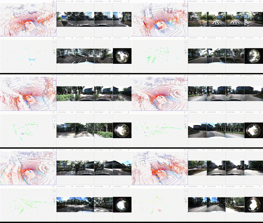
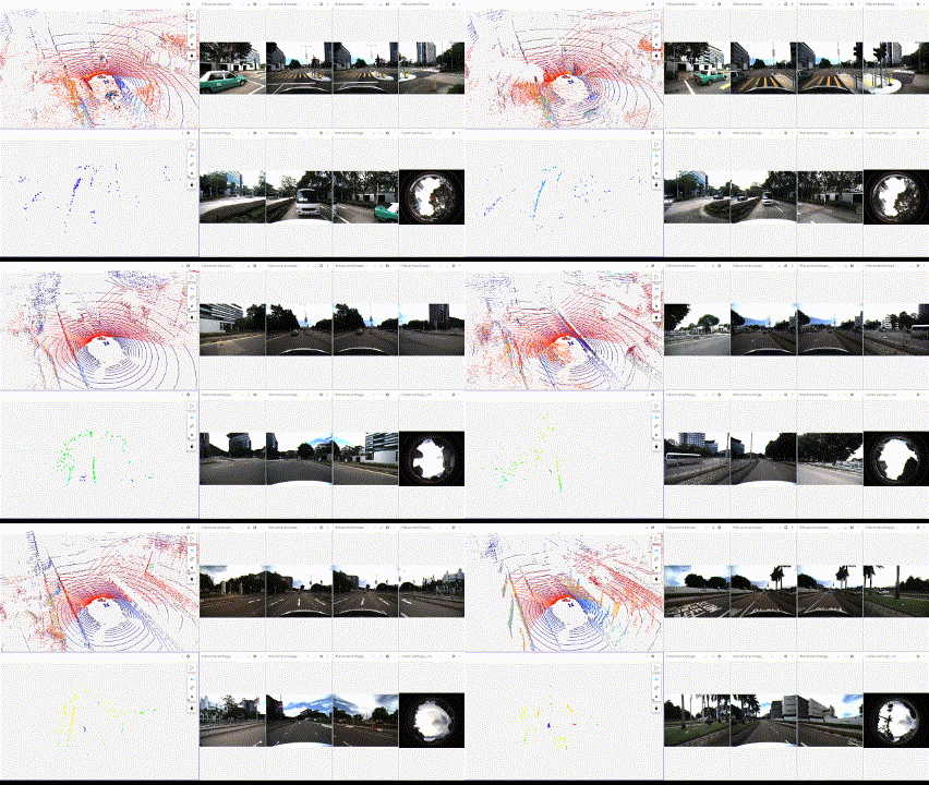
Visualization of each sequence
Small Loop Scenario (Download Link)

small_loop
Large Loop Scenario (Download Link)

large_loop
Summarization
| Scene | Duration | Total Size |
| Small Loop Scenario
(Download Link) |
309s | 34.9 GB |
| Large Loop Scenario
(Download Link) |
600s | 62.2 GB |