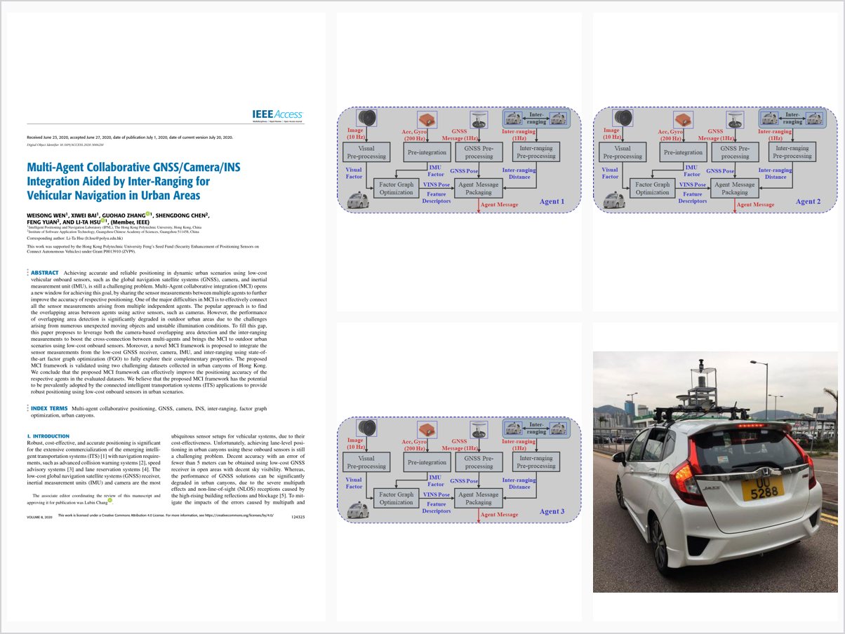
Multi-Agent Collaborative GNSS/Camera/INS Integration Aided by Inter-Ranging for Vehicular Navigation in Urban Areas
Abstract
Achieving accurate and reliable positioning in dynamic urban scenarios using low-cost vehicular onboard sensors, such as the global navigation satellite systems (GNSS), camera, and inertial measurement unit (IMU), is still a challenging problem. Multi-Agent collaborative integration (MCI) opens a new window for achieving this goal, by sharing the sensor measurements between multiple agents to further improve the accuracy of respective positioning. One of the major difficulties in MCI is to effectively connect all the sensor measurements arising from multiple independent agents. The popular approach is to find the overlapping areas between agents using active sensors, such as cameras. However, the performance of overlapping area detection is significantly degraded in outdoor urban areas due to the challenges arising from numerous unexpected moving objects and unstable illumination conditions. To fill this gap, this paper proposes to leverage both the camera-based overlapping area detection and the inter-ranging measurements to boost the cross-connection between multi-agents and brings the MCI to outdoor urban scenarios using low-cost onboard sensors. Moreover, a novel MCI framework is proposed to integrate the sensor measurements from the low-cost GNSS receiver, camera, IMU, and inter-ranging using state-of-the-art factor graph optimization (FGO) to fully explore their complementary properties. The proposed MCI framework is validated using two challenging datasets collected in urban canyons of Hong Kong. We conclude that the proposed MCI framework can effectively improve the positioning accuracy of the respective agents in the evaluated datasets. We believe that the proposed MCI framework has the potential to be prevalently adopted by the connected intelligent transportation systems (ITS) applications to provide robust positioning using low-cost onboard sensors in urban scenarios.
Problem Addressed
Accurate and reliable positioning with low-cost onboard sensors in dynamic urban scenarios remains challenging. Multi-agent collaborative integration requires effective cross-connections between agents, but camera-based overlapping area detection degrades outdoors due to moving objects and unstable illumination.
Key Contributions
- Combine camera-based overlapping area detection with inter-ranging measurements to cross-connect multiple agents.
- Multi-agent collaborative integration framework fusing GNSS, camera, IMU, and inter-ranging via factor graph optimization.
- Brings collaborative integration to outdoor urban scenarios using low-cost onboard sensors.
- Validated on two challenging datasets collected in Hong Kong urban canyons.
Conclusions
The proposed multi-agent collaborative integration framework effectively improves the positioning accuracy of the respective agents in the evaluated datasets. It has the potential to be adopted by connected intelligent transportation systems to provide robust positioning with low-cost onboard sensors in urban scenarios.