Hong Kong UrbanNav: An Open-Source Multisensory Dataset for Benchmarking Urban Navigation Algorithms
Abstract
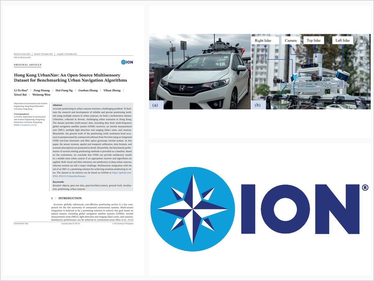
Accurate positioning in urban canyons remains a challenging problem. To facil itate the research and development of reliable and precise positioning meth ods using multiple sensors in urban canyons, we built a multisensory dataset, UrbanNav, collected in diverse, challenging urban scenarios in Hong Kong. The dataset provides multi-sensor data, including data from multi-frequency global navigation satellite system (GNSS) receivers, an inertial measurement unit (IMU), multiple light detection and ranging (lidar) units, and cameras. Meanwhile, the ground truth of the positioning (with centimeter-level accu racy) is postprocessed by commercial software from NovAtel using an integrated GNSS real-time kinematic and fiber optics gyroscope inertial system. In this paper, the sensor systems, spatial and temporal calibration, data formats, and scenario descriptions are presented in detail. Meanwhile, the benchmark perfor mance of several existing positioning methods is provided as a baseline. Based on the evaluations, we conclude that GNSS can provide satisfactory results in a middle-class urban canyon if an appropriate receiver and algorithms are applied. Both visual and lidar odometry are satisfactory in deep urban canyons, whereas tunnels are still a major challenge. Multisensory integration with the aid of an IMU is a promising solution for achieving seamless positioning in cit ies. The dataset in its entirety can be found on GitHub at https://github.com/ IPNL-POLYU/UrbanNavDataset.
Problem Addressed
Accurate positioning in urban canyons remains challenging due to complex building structures, and existing multisensory datasets do not satisfy the requirements for benchmarking urban navigation algorithms in such scenarios.
Key Contributions
- Open-source multisensory dataset collected in diverse, challenging urban scenarios in Hong Kong
- Multi-frequency GNSS receivers, IMU, multiple lidars, and cameras with detailed spatial and temporal calibration
- Centimeter-level ground truth post-processed from GNSS RTK and fiber-optic gyroscope inertial system
- Baseline benchmark performance of several existing positioning methods
Conclusions
Benchmarks show GNSS can provide satisfactory results in a middle-class urban canyon when appropriate receivers and algorithms are applied. Visual and lidar odometry are satisfactory in deep urban canyons, whereas tunnels remain a major challenge. Multisensory integration aided by an IMU is a promising solution for seamless positioning in cities.