Roadside Infrastructure assisted LiDAR/Inertial-based Mapping for Intelligent Vehicles in Urban Areas
Abstract
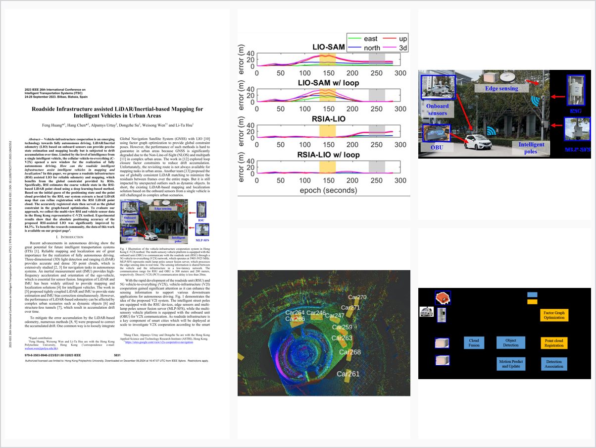
Vehicle-infrastructure cooperation is an emerging technology towards fully autonomous driving. LiDAR/Inertial odometry (LIO) based on onboard sensors can provide precise state estimation and mapping locally but is subjected to drift accumulation over time. Limited by the level of intelligence from a single intelligent vehicle, the cellular vehicle-to-everything (C-V2X) opened a new window for the realization of fully autonomous driving. How can the roadside intelligent infrastructure assist intelligent vehicles in mapping and localization? In this paper, we propose a roadside infrastructure (RSI) assisted LIO for reliable odometry and mapping, which benefits from the global constraint provided by RSIs. Specifically, RSI estimates the coarse vehicle state in the RSI-based LiDAR point cloud using a deep learning-based method. Based on the initial guess of the positioning state and the point cloud provided by the RSI, our system extracts a local LiDAR map that can refine registration with the RSI LiDAR point cloud. The accurately registered state then served as the global constraint in the graph-based optimization. To evaluate our approach, we collect the multi-view RSI and vehicle sensor data in the Hong Kong representative C-V2X testbed. Experimental results show that the absolute positioning accuracy of the proposed RSI-assisted LIO was significantly improved by 84.3%. To benefit the research community, the data of this work is available on our project page33https://sites.google.com/view/v2x-cooperative-navigation .
Problem Addressed
LiDAR/inertial odometry provides precise local state estimation and mapping but is subject to drift accumulation over time, and a single intelligent vehicle has limited perception intelligence in complex urban scenarios.
Key Contributions
- Roadside infrastructure-assisted LiDAR/inertial odometry framework providing global constraints for mapping
- Deep learning-based coarse vehicle state estimation within the infrastructure LiDAR point cloud
- Local LiDAR map extraction and refined registration against the roadside point cloud
- Graph-based optimization using the accurately registered state as a global constraint
Conclusions
Evaluated on multi-view roadside and vehicle sensor data collected in the Hong Kong C-V2X testbed, the proposed RSI-assisted LIO improves absolute positioning accuracy by 84.3% over the state-of-the-art method. Future work includes evaluation in more challenging urban scenarios, calibration of multiple roadside infrastructures, and GNSS NLOS detection using the resulting point cloud maps.