Towards high-definition vector map construction based on multi-sensor integration for intelligent vehicles: Systems and error quantification
Abstract
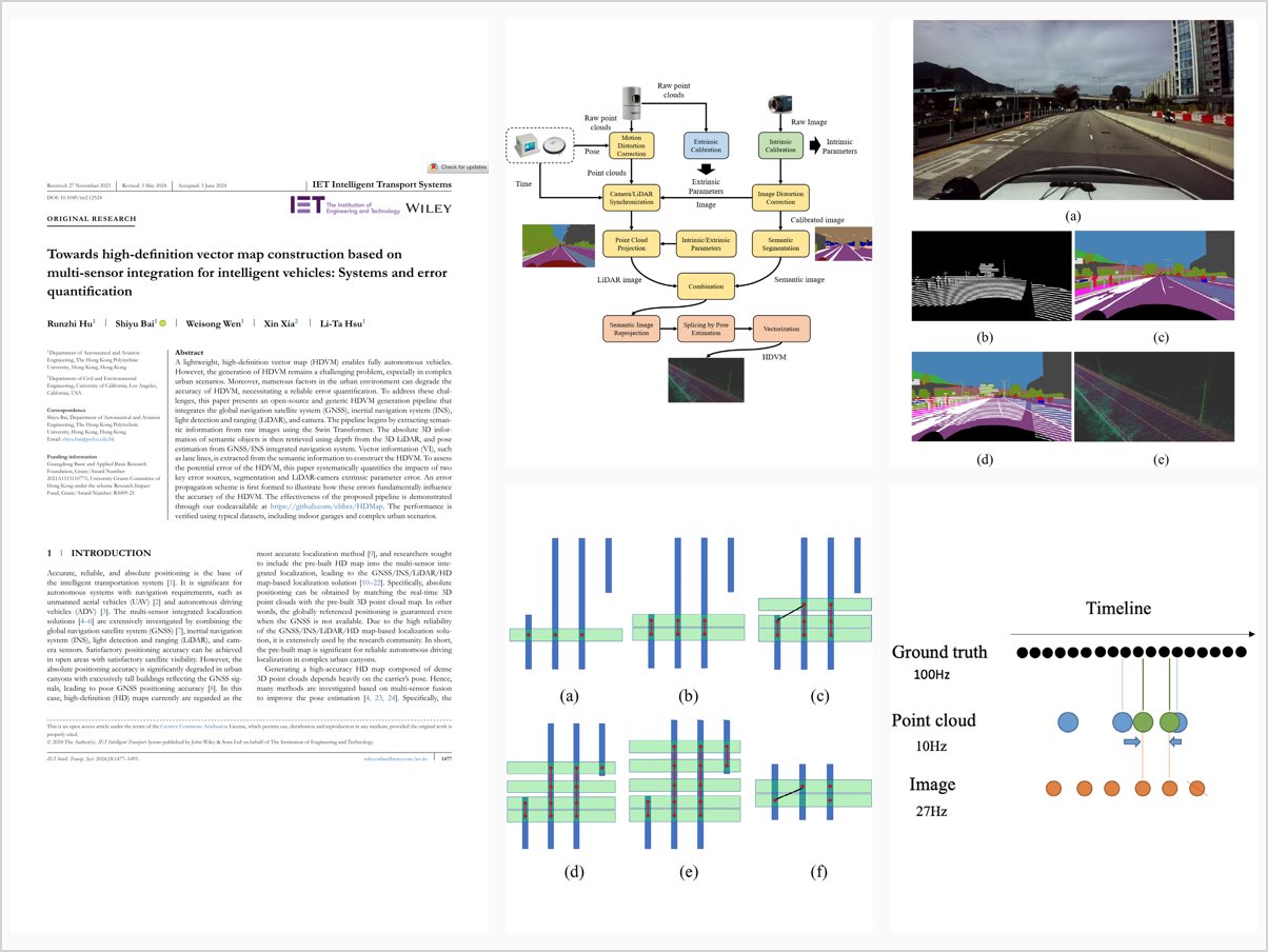
A lightweight, high-definition vector map (HDVM) enables fully autonomous vehicles. However, the generation of HDVM remains a challenging problem, especially in complex urban scenarios. Moreover, numerous factors in the urban environment can degrade the accuracy of HDVM, necessitating a reliable error quantification. To address these challenges, this paper presents an open-source and generic HDVM generation pipeline that integrates the global navigation satellite system (GNSS), inertial navigation system (INS), light detection and ranging (LiDAR), and camera. The pipeline begins by extracting semantic information from raw images using the Swin Transformer. The absolute 3D information of semantic objects is then retrieved using depth from the 3D LiDAR, and pose estimation from GNSS/INS integrated navigation system. Vector information (VI), such as lane lines, is extracted from the semantic information to construct the HDVM. To assess the potential error of the HDVM, this paper systematically quantifies the impacts of two key error sources, segmentation and LiDAR-camera extrinsic parameter error. An error propagation scheme is first formed to illustrate how these errors fundamentally influence the accuracy of the HDVM. The effectiveness of the proposed pipeline is demonstrated through our code available at https://github.com/ebhrz/HDMap. The performance is verified using typical datasets, including indoor garages and complex urban scenarios.
Problem Addressed
Generating lightweight high-definition vector maps (HDVM) for autonomous vehicles remains challenging in complex urban scenarios, and numerous urban environmental factors degrade map accuracy, necessitating reliable error quantification.
Key Contributions
- Open-source generic HDVM generation pipeline integrating GNSS, INS, LiDAR, and camera, covering horizontal and vertical elements
- Swin Transformer semantic extraction combined with LiDAR depth and GNSS/INS pose to vectorize map elements
- First theoretical and experimental error quantification of segmentation and LiDAR-camera extrinsic parameter errors via error propagation
- Verified on indoor garage and challenging urban canyon datasets, achieving sub-meter accuracy
Conclusions
Indoor and outdoor experiments show the pipeline achieves sub-meter accuracy, with the error propagation scheme quantifying how segmentation and extrinsic calibration errors affect the HDVM. The pipeline enables reliable and incremental HDVM generation and is released as open source.