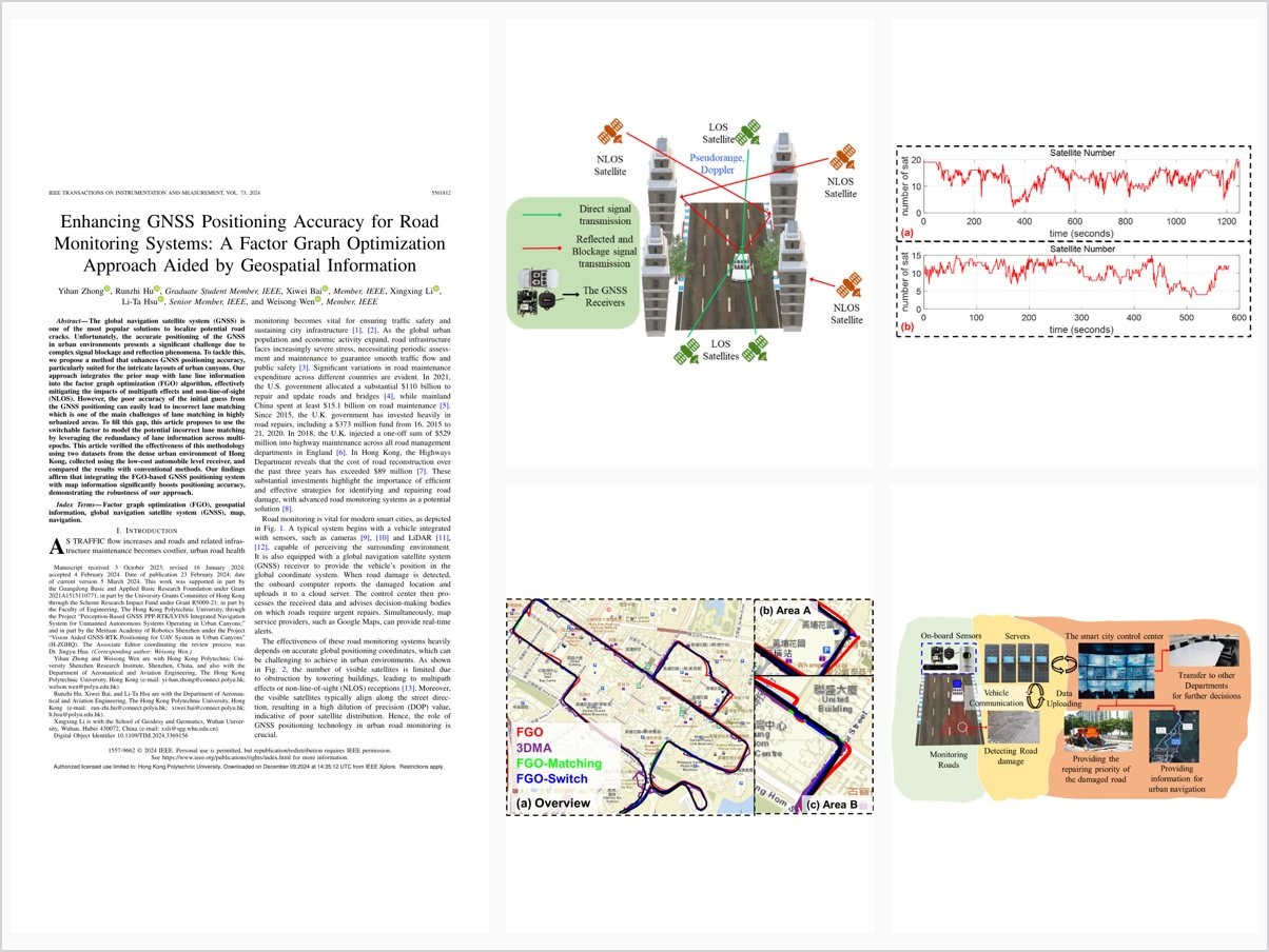
Enhancing GNSS Positioning Accuracy for Road Monitoring Systems: A Factor Graph Optimization Approach Aided by Geospatial Information
Abstract
The global navigation satellite system (GNSS) is one of the most popular solutions to localize potential road cracks. Unfortunately, the accurate positioning of the GNSS in urban environments presents a significant challenge due to complex signal blockage and reflection phenomena. To tackle this, we propose a method that enhances GNSS positioning accuracy, particularly suited for the intricate layouts of urban canyons. Our approach integrates the prior map with lane line information into the factor graph optimization (FGO) algorithm, effectively mitigating the impacts of multipath effects and non-line-of-sight (NLOS). However, the poor accuracy of the initial guess from the GNSS positioning can easily lead to incorrect lane matching which is one of the main challenges of lane matching in highly urbanized areas. To fill this gap, this article proposes to use the switchable factor to model the potential incorrect lane matching by leveraging the redundancy of lane information across multiepochs. This article verified the effectiveness of this methodology using two datasets from the dense urban environment of Hong Kong, collected using the low-cost automobile level receiver, and compared the results with conventional methods. Our findings affirm that integrating the FGO-based GNSS positioning system with map information significantly boosts positioning accuracy, demonstrating the robustness of our approach.
Problem Addressed
GNSS positioning for urban road monitoring suffers from complex signal blockage and reflection phenomena, and the poor initial guess from GNSS positioning easily leads to incorrect lane matching in map-aided methods.
Key Contributions
- FGO-based GNSS positioning with a map-matching factor using manually marked lane information from Google Earth
- Multi-epoch lane matching exploiting redundancy of lane information across epochs
- Switchable factor modeling potential incorrect lane matching to mitigate mis-matching
- Verified on two dense-urban Hong Kong datasets with a low-cost automobile-grade receiver
Conclusions
The proposed FGO-Matching and FGO-Switch methods achieve superior positioning accuracy compared with conventional FGO in challenging urban environments. Computation time increases by approximately 120% over the original algorithm but remains acceptable for practical applications, though FGO-Switch is less robust than FGO-Matching under poor initial guesses.