Research direction

End-to-End Autonomous Vehicles

Safety-certifiable end-to-end driving for urban logistics

The Hong Kong Polytechnic University Department of Aeronautical and Aviation Engineering
← All research directions

Autonomous vehicles can transform logistics and urban mobility, but driving safely on Hong Kong’s dense, GNSS-degraded streets is still a grand challenge. We develop end-to-end learning for driving together with safety certification, and take both from campus tests to real logistics fleets.

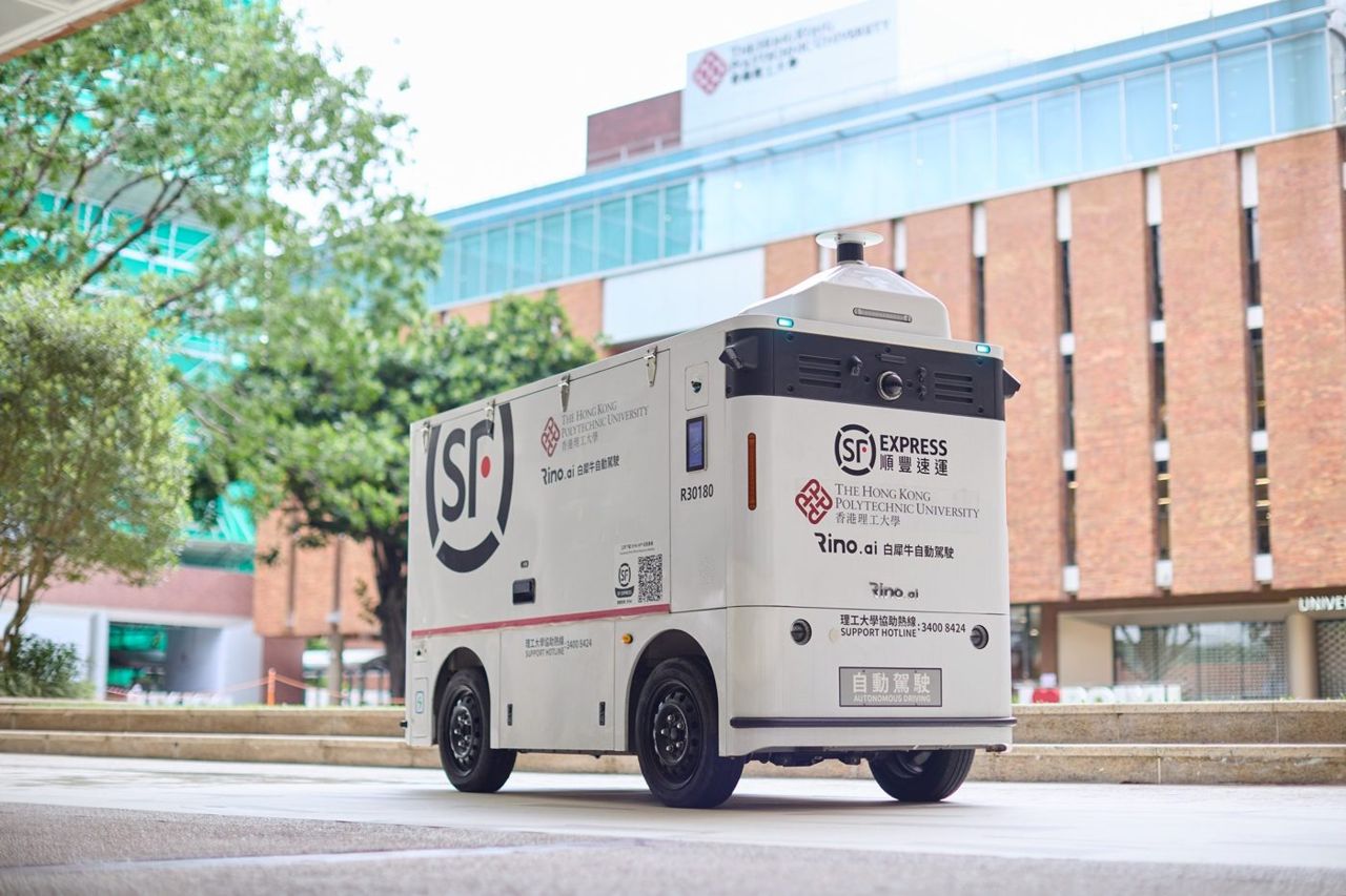
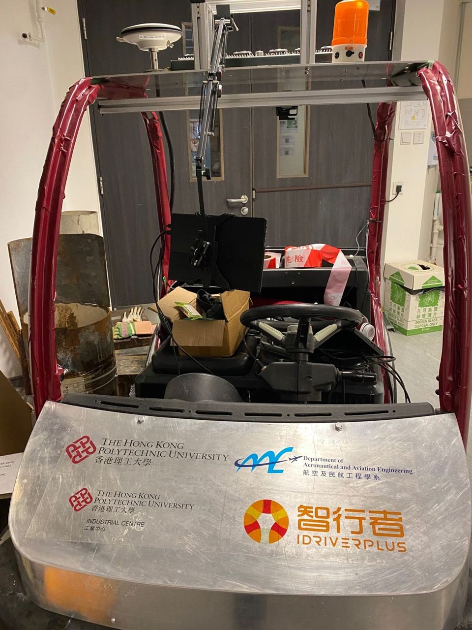
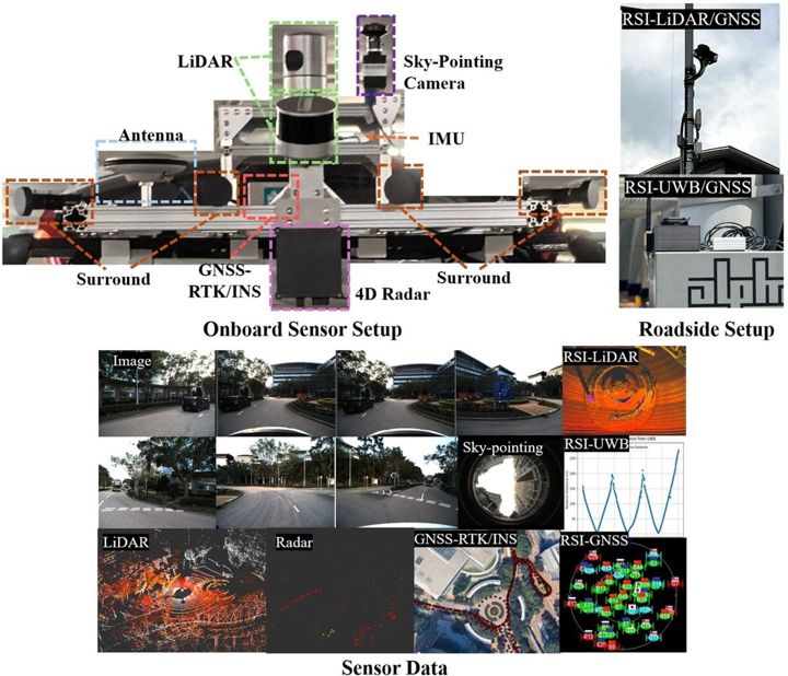
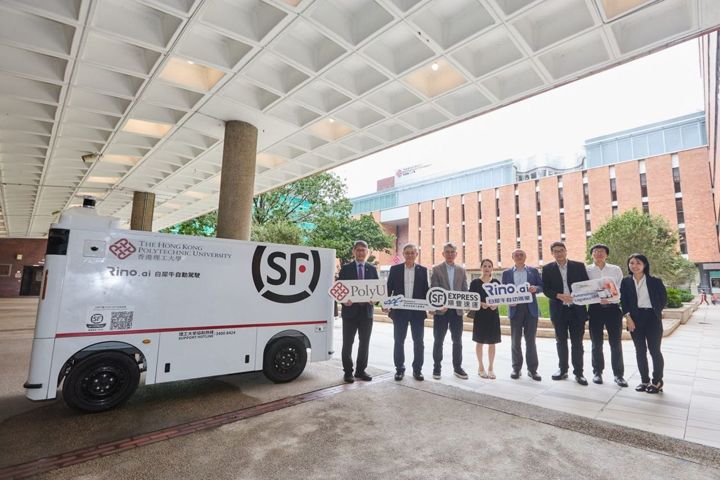
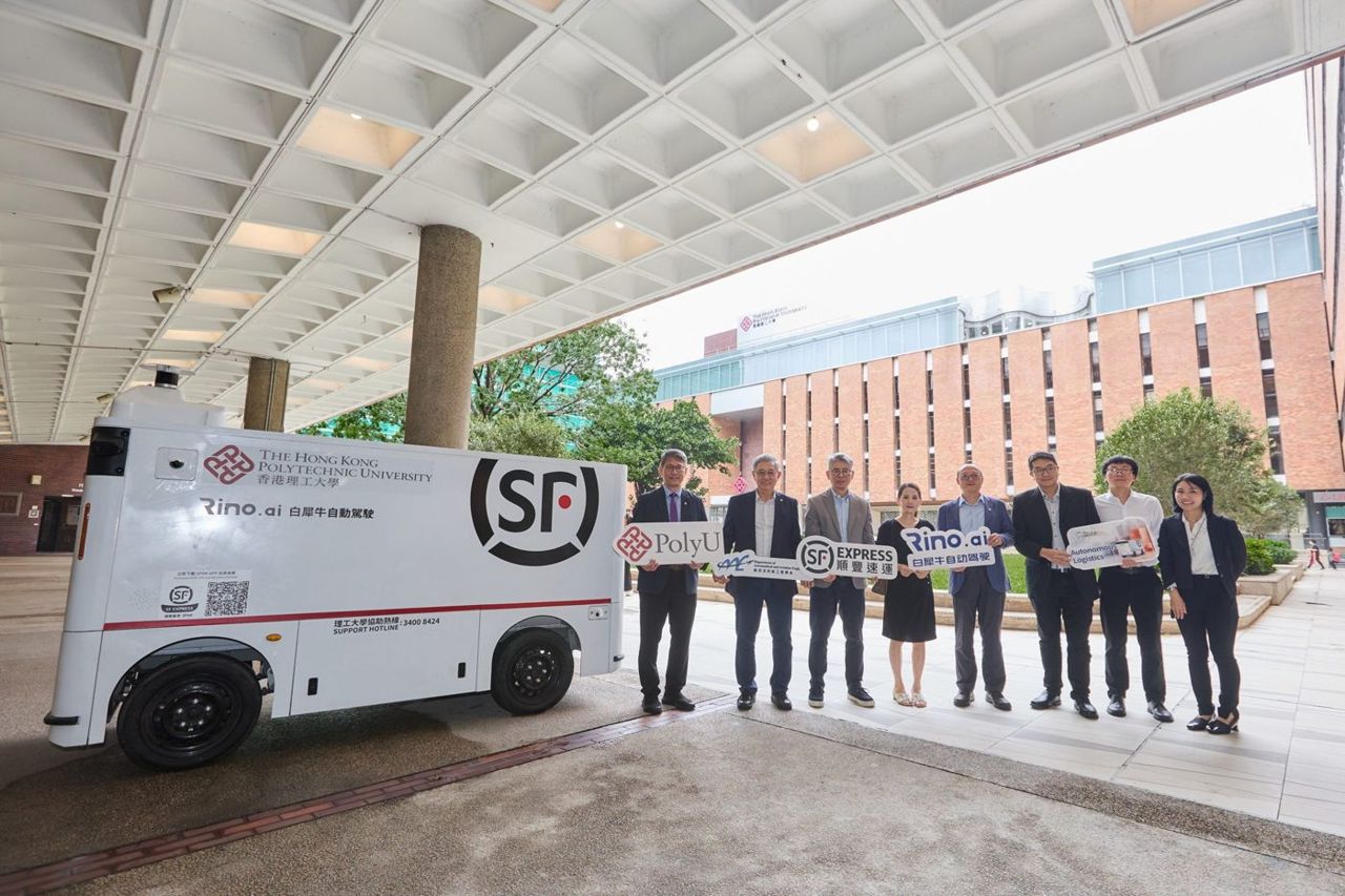
Our platforms combine GNSS-RTK, LiDAR, cameras and IMU with V2X communication and roadside sensing, and are validated with partners such as SF Express and Rino.ai in campus delivery, last-mile transport and connected-vehicle trials.

  • End-to-end driving
  • Integrity monitoring
  • V2X & roadside sensing
  • HD mapping
  • Logistics vehicles
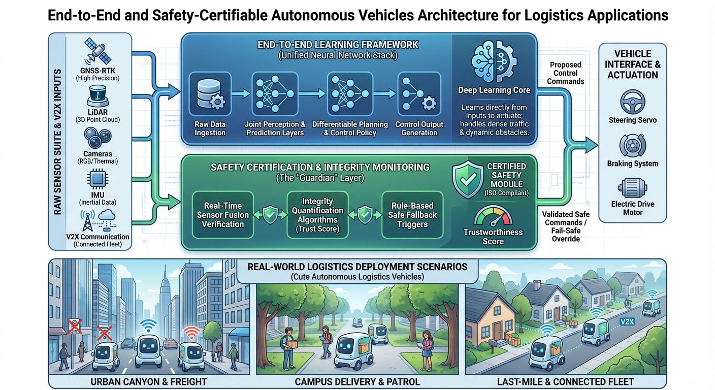
End-to-end and safety-certifiable autonomous vehicles for logistics

Our Approach

  1. End-to-end autonomous driving

    Networks that learn to drive from raw LiDAR, camera, IMU and GNSS data, unifying perception, prediction, planning and control in one differentiable framework.

  2. Safety certification and integrity monitoring

    Integrity monitoring quantifies in real time how far the navigation solution can be trusted, so the vehicle can detect unsafe states and trigger fail-safe manoeuvres.

  3. Real-world deployment for logistics

    Full-stack vehicle platforms for campus patrol, autonomous delivery and connected fleets, with robust localisation in urban canyons.

Autonomous vehicle platform for campus logistics and urban navigation

Research in Action

Systems we have built and tested with partners. Open a card for the problem, our approach, results and photos.

End-to-End Intelligent Driving System for Logistics

End-to-End Intelligent Driving System for Logistics

An end-to-end AI driving stack with a trustworthy positioning safety layer, validated on logistics vans with Hong Kong's leading logistics operator.

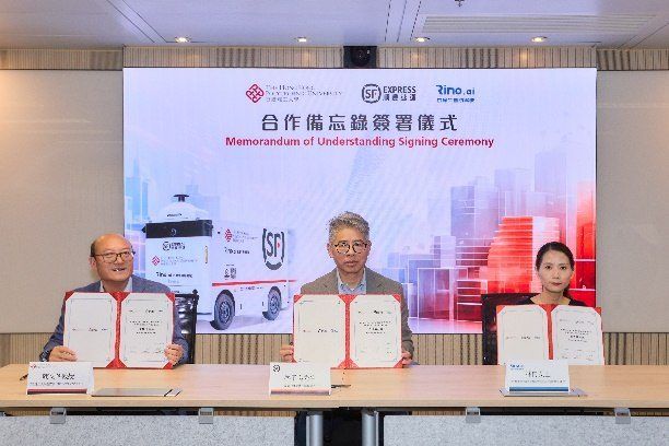
  • 2 MOUs SF Express · Rino.ai
  • 2,000+ partner vehicles in 170+ cities
  • End-to-end AI driving with a safety layer
Problem, approach & results

ProblemUrban logistics vans must drive safely through dense, GNSS-degraded Hong Kong streets with heavy occlusion and tight kerbside space.

Approach
  • End-to-end AI driving stack learned from multi-sensor data
  • Trustworthy GNSS/INS/LiDAR positioning acting as a safety layer
  • Field validation on a logistics vehicle provided by SF Express (HK) and Rino.ai
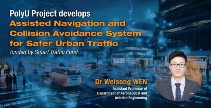
Assisted Navigation and Collision Avoidance System using AI and Location-based Services

Assisted Navigation and Collision Avoidance System using AI and Location-based Services

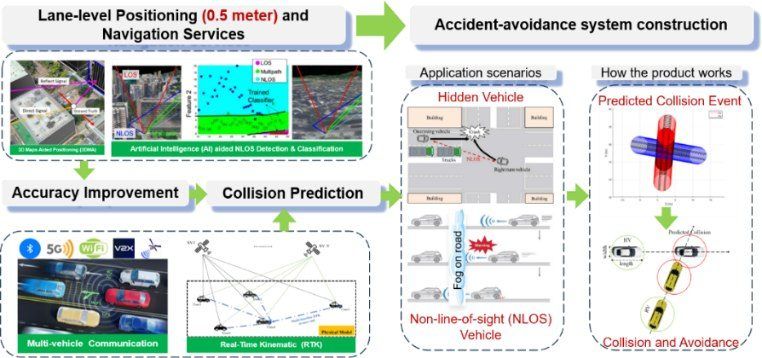
Lane-level positioning and multi-vehicle collision warnings for Hong Kong roads.

  • <0.5 m lane-level error
  • Multi-car collision warnings
Problem, approach & results

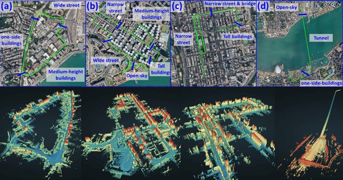
ProblemTall buildings block satellites and sight lines, so lane-level positioning and blind-spot awareness fail in urban canyons.

Approach
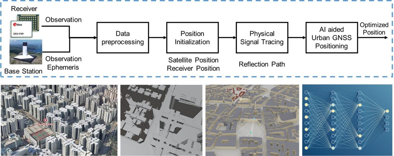
  • Lane-level positioning from RTK and 3D city maps
  • Multi-vehicle collaborative sensing with AI and RTK for over-the-horizon warnings
  • AI dynamic-model optimisation and a multi-vehicle collision-avoidance prototype

ResultsION GNSS+ 2024 paper on factor-graph multi-epoch ambiguity resolution; an AI-based NLOS-mitigation deliverable.

Advanced Smart-Mobility Roadside and Edge System

Advanced Smart-Mobility Roadside and Edge System

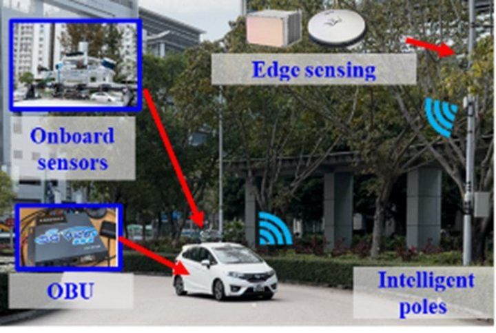
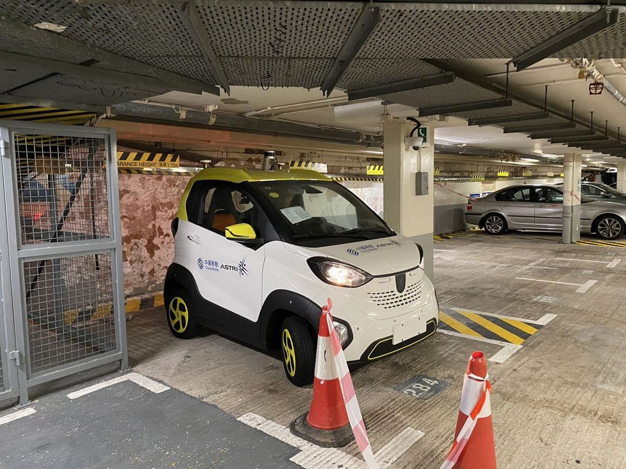
Roadside sensing and edge computing that share maps and dynamic objects with connected vehicles, with ASTRI.

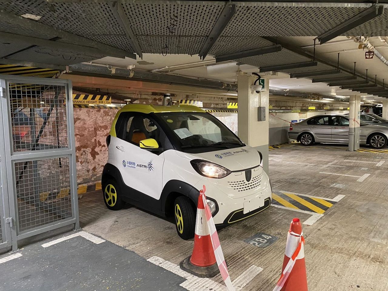
  • 1 car donated by ASTRI
  • ITSC 2023 paper
  • HKSTP joint field tests
Problem, approach & results

ProblemVehicles alone cannot see around corners or keep HD maps current; roadside units can, if their data are fused correctly.

Approach
  • Roadside LiDAR and camera units mapping their surroundings
  • Edge computing that shares error maps and dynamic objects with connected vehicles
  • Joint field tests with ASTRI vehicles at HKSTP and PolyU

ResultsRoadside error maps shared with connected vehicles (IEEE ITSC 2023).

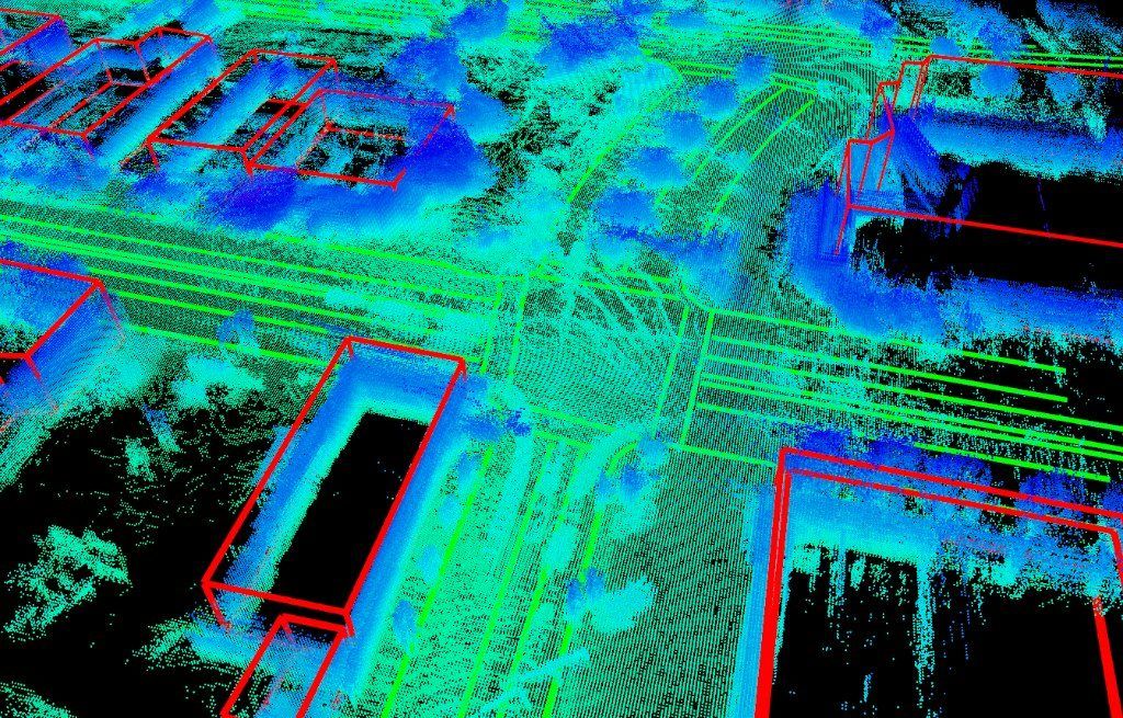
Multi-Sensory HD Mapping System

Multi-Sensory HD Mapping System

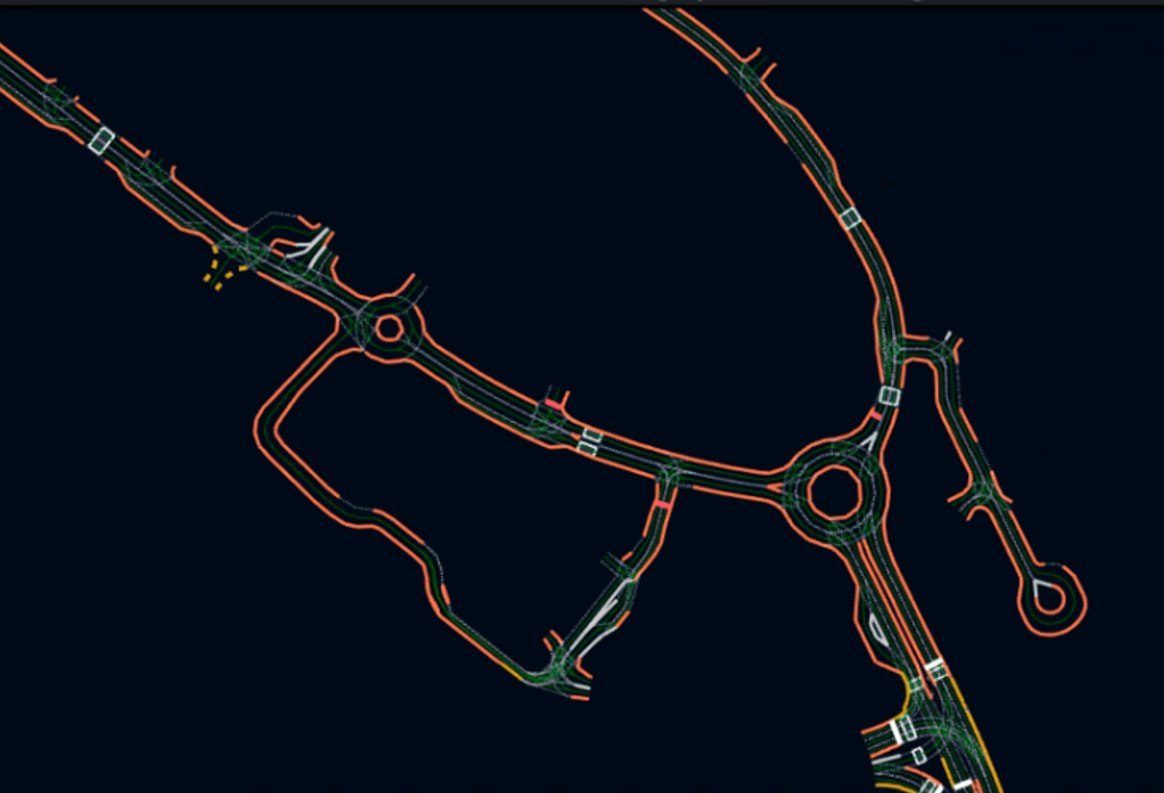
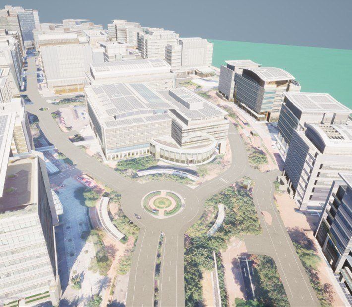
A full HD-mapping platform delivered to ASTRI, with vector maps and a digital twin of Hong Kong Science Park.

  • Vector map of HKSTP
  • Digital twin of Science Park
Problem, approach & results

ProblemAutonomous-driving trials at Science Park needed a centimetre-level HD map and a way to keep it up to date.

Approach
  • Vehicle and roadside multi-sensor kit (LiDAR, cameras, GNSS/INS) with time synchronisation
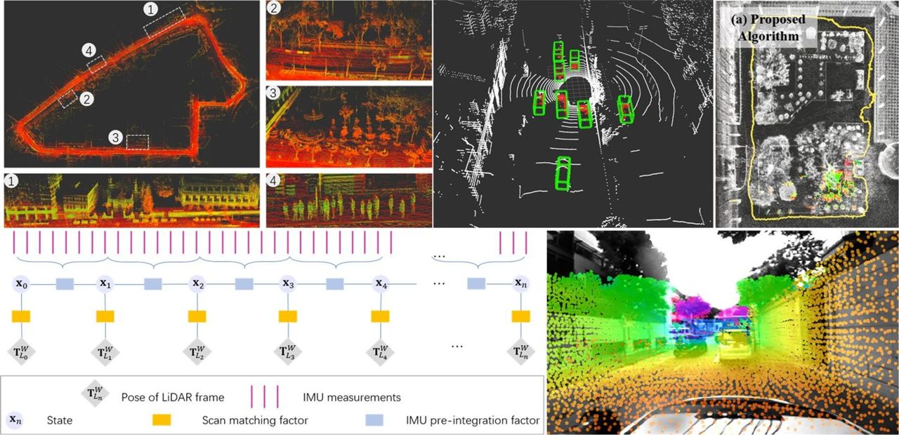
  • LiDAR-inertial mapping and lane-level vector-map extraction
  • Digital-twin model of HKSTP for simulation and validation

ResultsMapping platform, point-cloud and vector maps of HKSTP, and a digital twin for simulation.

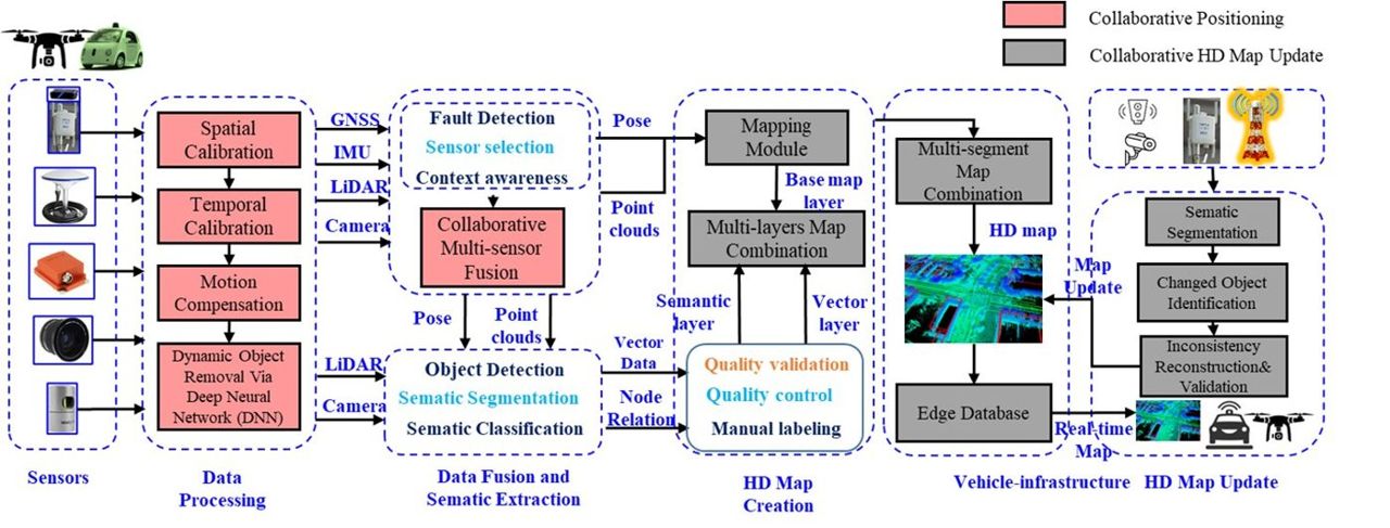
Vehicle–Infrastructure Collaboration for Connected UGVs and UAVs

Vehicle–Infrastructure Collaboration for Connected UGVs and UAVs

Collaborative positioning and map update in urban canyons using roadside units, drones and ground vehicles.

  • V2I collaborative positioning
  • UAV + UGV map update
Problem, approach & results

ProblemSingle-vehicle positioning has hit its limits in urban canyons; roadside units and drones can supply the missing views.

Approach
  • Vehicle–infrastructure collaborative positioning using roadside units and smart sensors
  • UAV–UGV collaboration for map update
  • Validation on TAS Lab vehicles and drones

ResultsSeeded the lab's collision-warning and air–ground map-update research.

Video Demonstrations

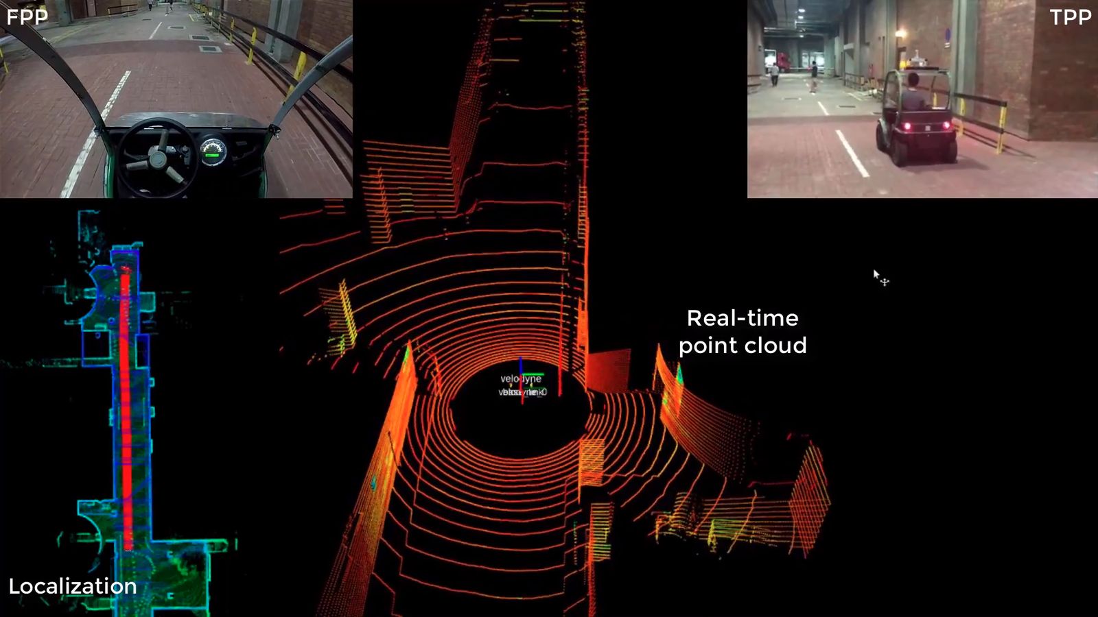
Autonomous driving test, TAS Lab, PolyU
Autonomous driving demonstration on the PolyU campus
Localisation and control
Perception and control

Field Demonstrations

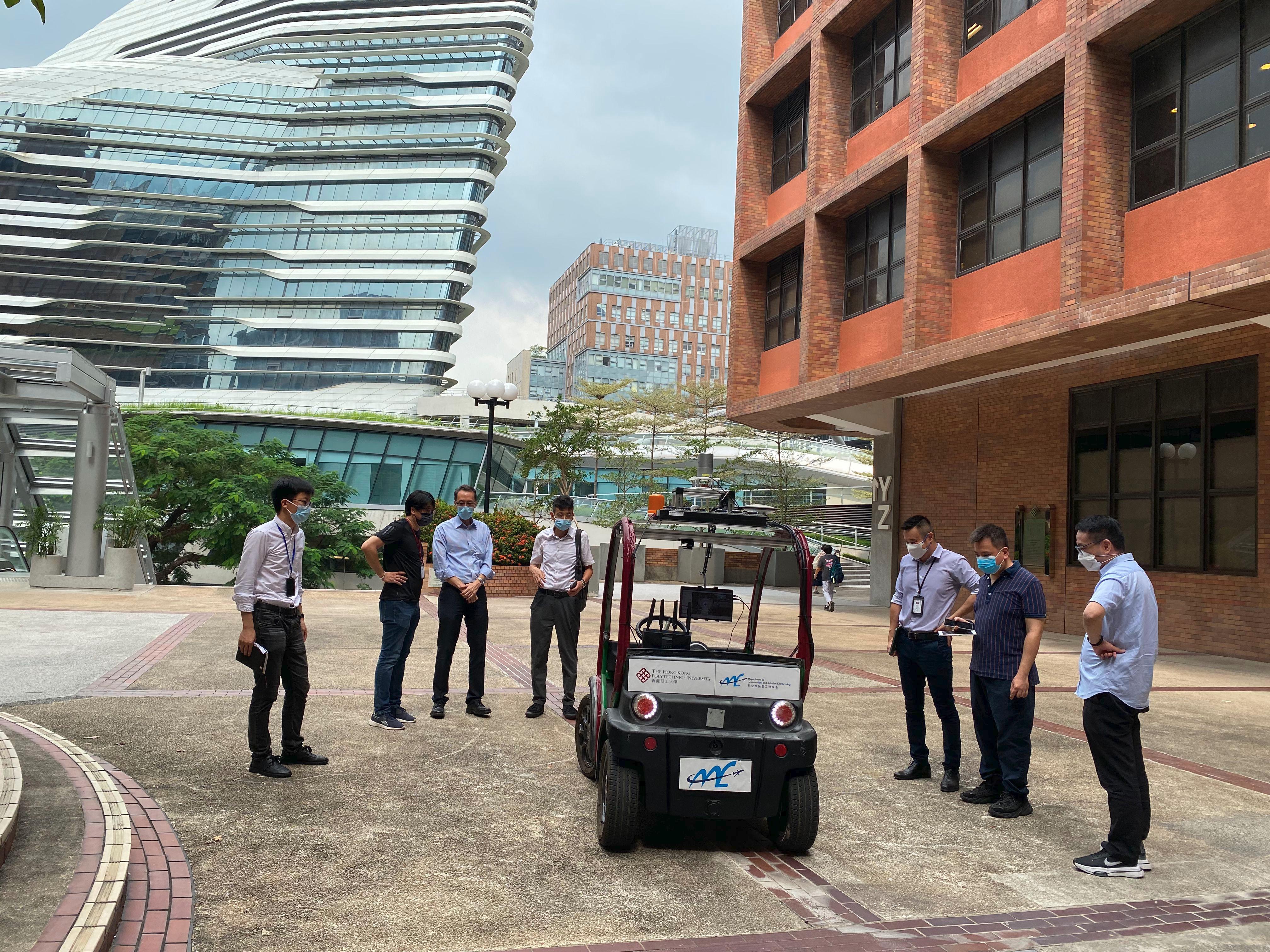
Campus security patrol demonstration with an unmanned ground vehicle
Campus security patrol with an unmanned ground vehicle, demonstrated to the PolyU Campus Facilities and Sustainability Office and Health and Safety Office (Sept 2022)

Collaborators

We work with industry partners including Huawei, Meituan, Tencent and iDriverplus, the Mechanical Systems Control Lab at UC Berkeley and Chemnitz University of Technology in Germany.

Selected Publications

Full publication list →