Continuous and Precise Positioning in Urban Environments by Tightly Coupled Integration of GNSS, INS and Vision
Abstract
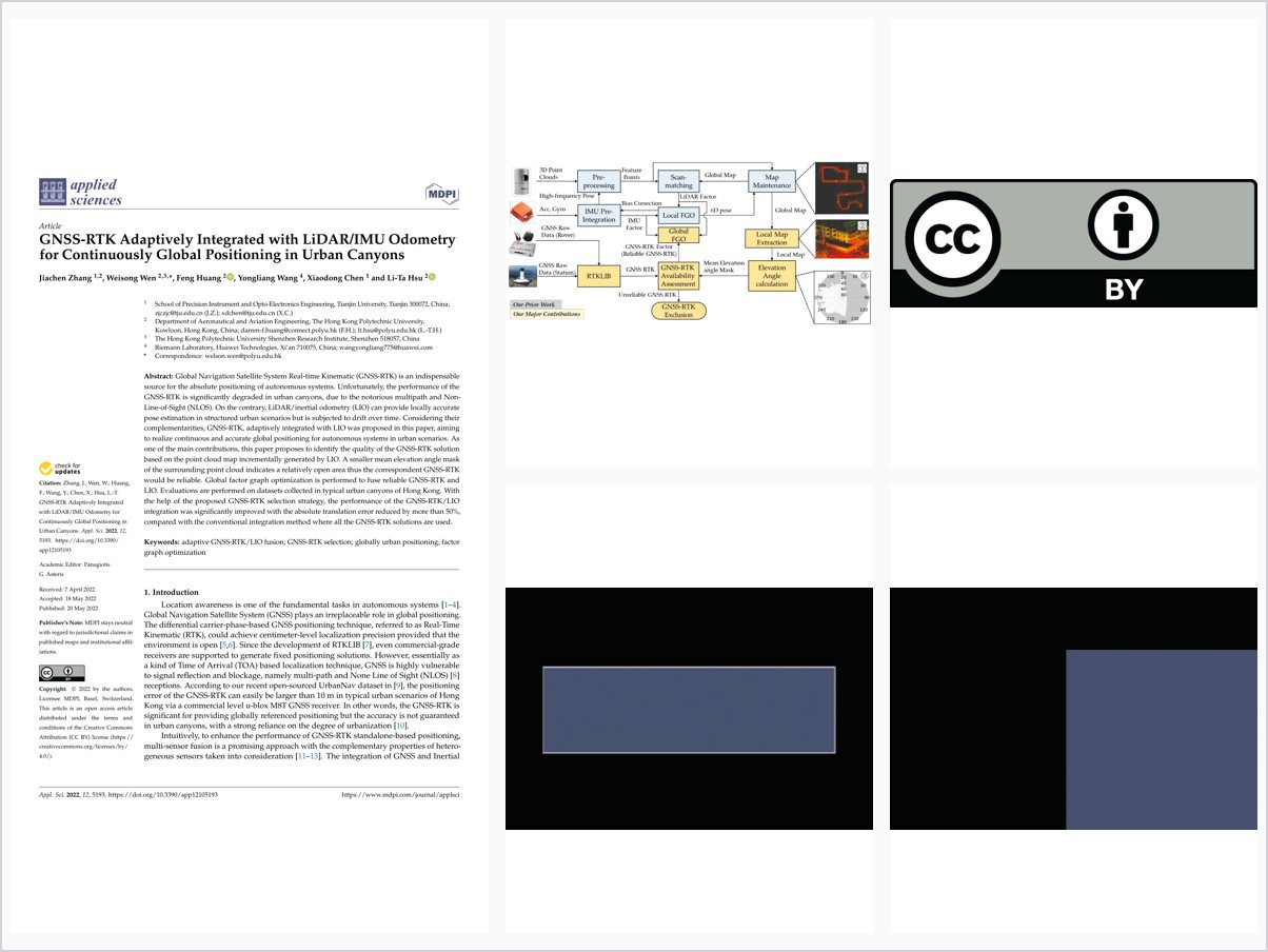
Global Navigation Satellite System Real-time Kinematic (GNSS-RTK) is an indispensable source for the absolute positioning of autonomous systems. Unfortunately, the performance of the GNSS-RTK is significantly degraded in urban canyons, due to the notorious multipath and Non-Line-of-Sight (NLOS). On the contrary, LiDAR/inertial odometry (LIO) can provide locally accurate pose estimation in structured urban scenarios but is subjected to drift over time. Considering their complementarities, GNSS-RTK, adaptively integrated with LIO was proposed in this paper, aiming to realize continuous and accurate global positioning for autonomous systems in urban scenarios. As one of the main contributions, this paper proposes to identify the quality of the GNSS-RTK solution based on the point cloud map incrementally generated by LIO. A smaller mean elevation angle mask of the surrounding point cloud indicates a relatively open area thus the correspondent GNSS-RTK would be reliable. Global factor graph optimization is performed to fuse reliable GNSS-RTK and LIO. Evaluations are performed on datasets collected in typical urban canyons of Hong Kong. With the help of the proposed GNSS-RTK selection strategy, the performance of the GNSS-RTK/LIO integration was significantly improved with the absolute translation error reduced by more than 50%, compared with the conventional integration method where all the GNSS-RTK solutions are used.
Problem Addressed
GNSS-RTK positioning degrades severely in urban canyons because of multipath and NLOS receptions, while LiDAR/inertial odometry, though locally accurate, drifts over time. Fusing the two effectively requires judging when GNSS-RTK solutions can be trusted.
Key Contributions
- Identify GNSS-RTK solution quality from the incrementally built LIO point cloud map using the mean elevation angle mask of surroundings.
- Adaptively select reliable GNSS-RTK solutions, treating open-sky areas with small elevation masks as trustworthy.
- Fuse selected GNSS-RTK with LiDAR/inertial odometry through global factor graph optimization.
- Evaluate on datasets collected in typical urban canyons of Hong Kong.
Conclusions
With the proposed GNSS-RTK selection strategy, the absolute translation error of GNSS-RTK/LIO integration was reduced by more than 50% compared with conventional integration using all GNSS-RTK solutions. The method enables continuous and accurate global positioning for autonomous systems in urban scenarios.