We are pleased to share that the paper “Outlier-Aware LiDAR/IMU/UWB Integration with NLOS Mitigation and Anchor Self-Calibration in Complex Scenarios” has been accepted for publication in the IEEE Transactions on Instrumentation and Measurement (TIM) on 15 September 2026.
The paper is authored by Naigui Xiao, Weisong Wen, Lu Bai, Xiangru Wang, Jiahao Hu, Qi Zhang, Jianhao Jiao, Zhen Lyu and Feng Huang. The work was led by PhD student Naigui Xiao at TASLAB, The Hong Kong Polytechnic University, in collaboration with Dr. Lu Bai at Chalmers University of Technology.
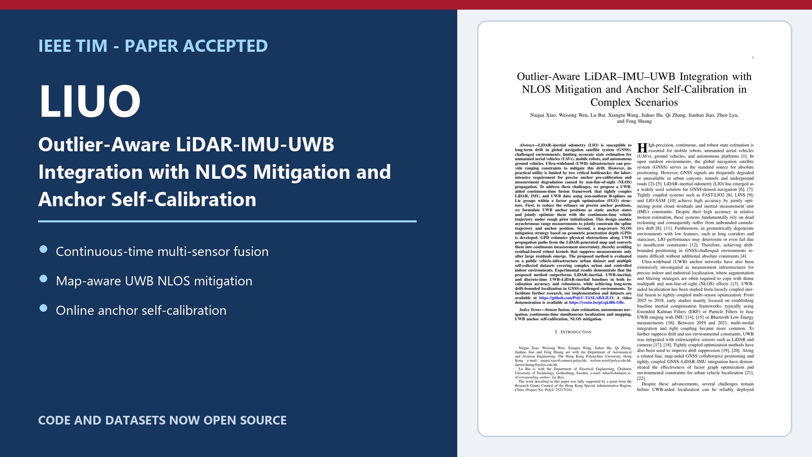
LIUO integrates LiDAR, IMU and UWB for drift-bounded localization in GNSS-challenged environments.
The proposed LiDAR–inertial–UWB odometry (LIUO) framework addresses two practical obstacles to deploying UWB-aided localization: labor-intensive anchor calibration and degraded ranging measurements under non-line-of-sight (NLOS) propagation.
Its main technical contributions are:
- a continuous-time factor graph based on non-uniform B-splines that associates asynchronous LiDAR, IMU and UWB measurements with the trajectory at their original timestamps;
- online self-calibration of 3D UWB anchor positions, jointly optimized with the vehicle trajectory and IMU biases; and
- map-aware NLOS mitigation based on geometric penetration depth (GPD), which uses the LiDAR map to estimate signal-path obstruction and adapt the uncertainty of each UWB measurement.
The system was evaluated on the public UrbanV2X benchmark and self-collected urban and indoor datasets. On UrbanV2X, the full self-calibrating LIUO configuration reduced APE RMSE from 12.374 m for FAST-LIO2 to 4.878 m, while reducing the fitted long-distance drift rate from 6.18 to 3.16 mm/m. The GPD-based NLOS detector achieved 92.39% precision, with an average processing time of approximately 0.31 ms per UWB measurement.
Field demonstrations (animated)
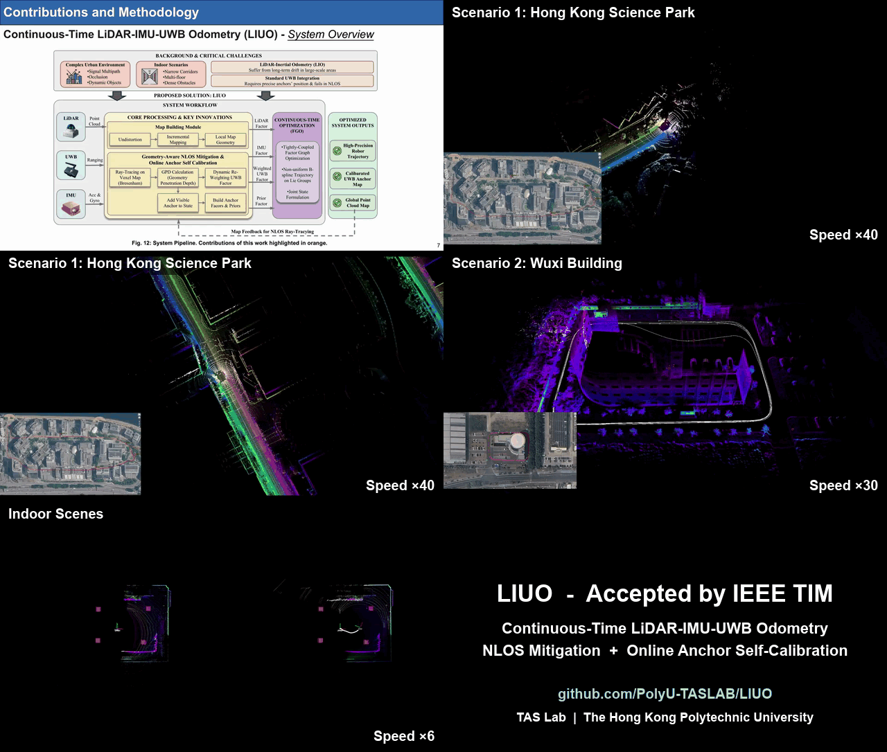
LIUO localization and mapping results from Hong Kong Science Park and the PolyU-Wuxi building.
Open-source code and datasets
The implementation and datasets are now available in the PolyU-TASLAB/LIUO GitHub repository.
Full video explainer
The complete explainer is also available directly on YouTube. Congratulations to Naigui and all co-authors!