← All datasets & code
UrbanLoco Dataset
Full Sensor Suite Dataset for Mapping and Localization in Urban Scenes
- Developed by
- Weisong Wen, Yiyang Zhou, et al.
- Repository
- weisongwen/UrbanLoco
- GitHub
- 482 stars · 43 forks
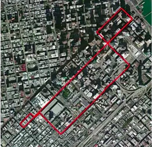
Summary
A mapping and localization dataset with a full sensor suite, recorded in highly urbanised parts of San Francisco and Hong Kong.
Key innovations
- LiDAR, cameras, IMU and GNSS recorded together in dense cities
- 13 trajectories, more than 40 km, covering canyons, bridges, tunnels and sharp turns
- Scenes with many dynamic objects where LiDAR and camera methods usually fail
- Collected jointly with UC Berkeley's Mechanical Systems Control Lab
Impact
- 482 GitHub stars and 43 forks
- Published at ICRA 2020
- Widely used to test SLAM and GNSS/LiDAR fusion in urban scenes
Cite this work
W. Wen, Y. Zhou, G. Zhang, S. Fahandezh-Saadi, X. Bai, W. Zhan, M. Tomizuka and L.-T. Hsu, "UrbanLoco: A Full Sensor Suite Dataset for Mapping and Localization in Urban Scenes," IEEE ICRA, 2020.