← All datasets & code
UrbanNav Dataset
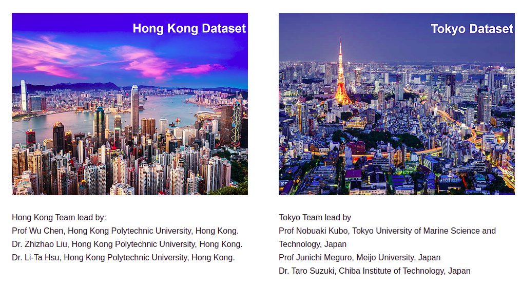
Multisensory Dataset for Benchmarking Positioning in Asian Urban Canyons (Hong Kong & Tokyo)
- Developed by
- Li-Ta Hsu, Weisong Wen, et al.
- Repository
- IPNL-POLYU/UrbanNavDataset
- GitHub
- 614 stars · 79 forks
Summary
An open benchmark of GNSS, LiDAR, camera and IMU data recorded in the deep urban canyons of Hong Kong and Tokyo, with raw GNSS observations and centimetre-level ground truth.
Key innovations
- Raw GNSS RINEX observations, so researchers can improve GNSS positioning itself, not only use its output
- Synchronised GNSS, 3D LiDAR, cameras and IMU on one vehicle platform
- Sequences graded from light to deep urban canyons, where NLOS and multipath are worst
- Ground truth from a NovAtel SPAN-CPT GNSS/INS system
Impact
- 614 GitHub stars and 79 forks
- A standard benchmark for urban GNSS and multi-sensor positioning research
- Published in NAVIGATION, the journal of the Institute of Navigation (2023)
Cite this work
L.-T. Hsu, F. Huang, H.-F. Ng, G. Zhang, Y. Zhong, X. Bai and W. Wen, "Hong Kong UrbanNav: An Open-Source Multisensory Dataset for Benchmarking Urban Navigation Algorithms," NAVIGATION, 2023.